
Topographical & Construction
Setout Surveying
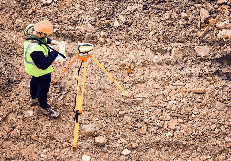
Accurate survey information is the foundation of every successful engineering and construction project. Whether you’re planning a new development, preparing for construction or recording completed infrastructure, reliable survey data helps ensure every decision is based on precise information.
Our engineering surveying services support projects from initial site investigations through to construction and final completion records. Using modern GPS equipment, optical surveying technology and drone surveying, we provide accurate data that engineers, architects, contractors and developers can rely on.
From small developments through to major infrastructure projects, we tailor our surveying approach to suit the unique requirements of every site.
Our Engineering Surveying Services
Explore our specialist services, from planning and design through
to construction support and quality assurance.
Our 3D ground surveying services accurately capture the existing terrain, structures and site features to create detailed digital models used for engineering design, planning and construction.
Unlike cadastral surveying, which focuses on legal property boundaries, engineering surveying concentrates on accurately modelling the physical characteristics of a site.
Using photogrammetry, thousands of overlapping aerial photographs are processed to generate accurate three-dimensional models of the site.
Before excavation or construction begins, we can help identify and locate existing underground infrastructure, reducing the risk of costly damage and construction delays.
Construction setout surveying transfers engineering designs from the plans onto the ground, providing contractors with precise reference points throughout construction.
We provide accurate location and level verification to confirm that foundations, slabs and buildings have been constructed in accordance with approved plans and consent requirements.
As-built surveys record the final position of completed infrastructure, creating detailed plans and digital records of what has actually been constructed.
Settlement monitoring is commonly used where construction occurs on soft ground or where significant earthworks may influence surrounding land.
Regular monitoring provides valuable information for engineers and contractors throughout construction and helps confirm when ground movement has stabilised before the next stage of work proceeds.
Some developments only require a simple ground survey, while others need detailed underground service mapping, construction setout, ongoing monitoring and final as-built documentation.
Our experienced team works closely with engineers, contractors, developers and project managers to determine the most appropriate surveying solution for your project and deliver accurate information you can rely on.
Contact our team to discuss your project and learn how our engineering surveying services can help deliver accurate data from planning through to project completion.
Let’s Discuss Your Project
Every successful project starts with the right advice.
Whether you’re still exploring options or ready to begin construction, we’d be happy to discuss your requirements and recommend the most practical path forward.
Contact Civil Services (HB) Ltd today to speak with one of our experienced engineers or project specialists.